The U.S. DOT says it plans to update the map in the future to include maritime and rail impacts (which LB also has.)
The screen saves below speak for themselves. To access the full map, click here
[Scroll down for further]

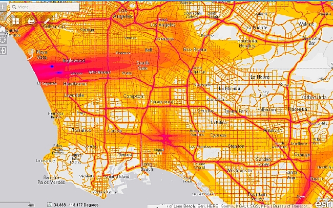
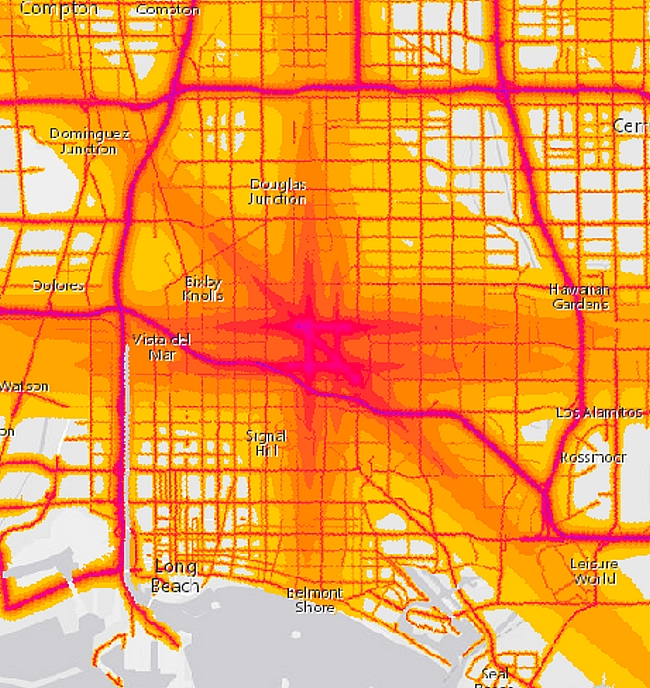
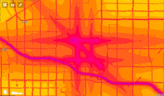
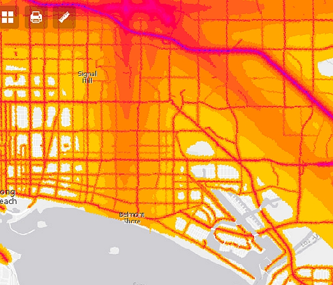
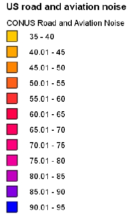
| (March 23, 2017. 3:55 p.m.) -- The U.S. Department of Transportation's Bureau of Transportation Statistics (BTS) has released an initial National Transportation Noise Map showing noise impacts from aviation and interstate highways nationwide AND allows one to zoom-into local areas, including Long Beach.
The U.S. DOT says it plans to update the map in the future to include maritime and rail impacts (which LB also has.) The screen saves below speak for themselves. To access the full map, click here [Scroll down for further] |
|
|
LB's major noise-generating source is its city-operated Airport. Long Beach's Airport ordinance currently protects the City of Long Beach from unlimited flights (no local limit on take-offs/landings, runways or hours) that might otherwise result under federal law. [LBREPORT.com recommends Long Beach neighborhood groups, parents, teachers, school administrators and other residents to bookmark this map for future uses, including environmental justice purposes.]
blog comments powered by Disqus Recommend LBREPORT.com to your Facebook friends:
Follow LBReport.com with:
Contact us: mail@LBReport.com |
     
 Hardwood Floor Specialists Call (562) 422-2800 or (714) 836-7050  |